


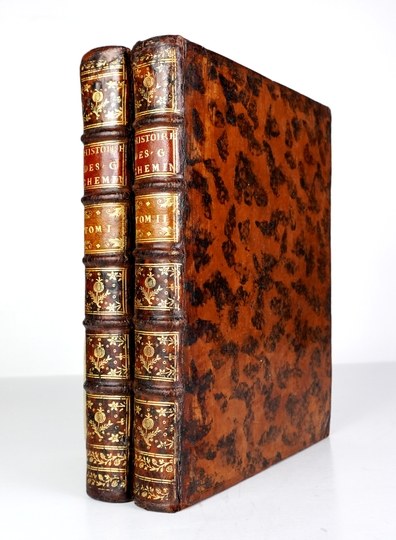


BERGIER Nicolas - Histoire des Grands Chemins de l'Empire Romain, contenant l'origine, progrès & etenduë quasi incroyable des Chemins Militaires, pavez depuis la Ville de Rome jusques aux extrémitez de son Empire [...]. Nouvelle édition, revue avec soin, et enrichie de cartes et de figures. Vol. 1-2. a Bruxelles 1736. chez Jean Leonard. 4, pp.[34], 458, [13], plates 4; [10], 442, fols. tit. 2, map ff. 1. bound in period gilt leather, stained trim.
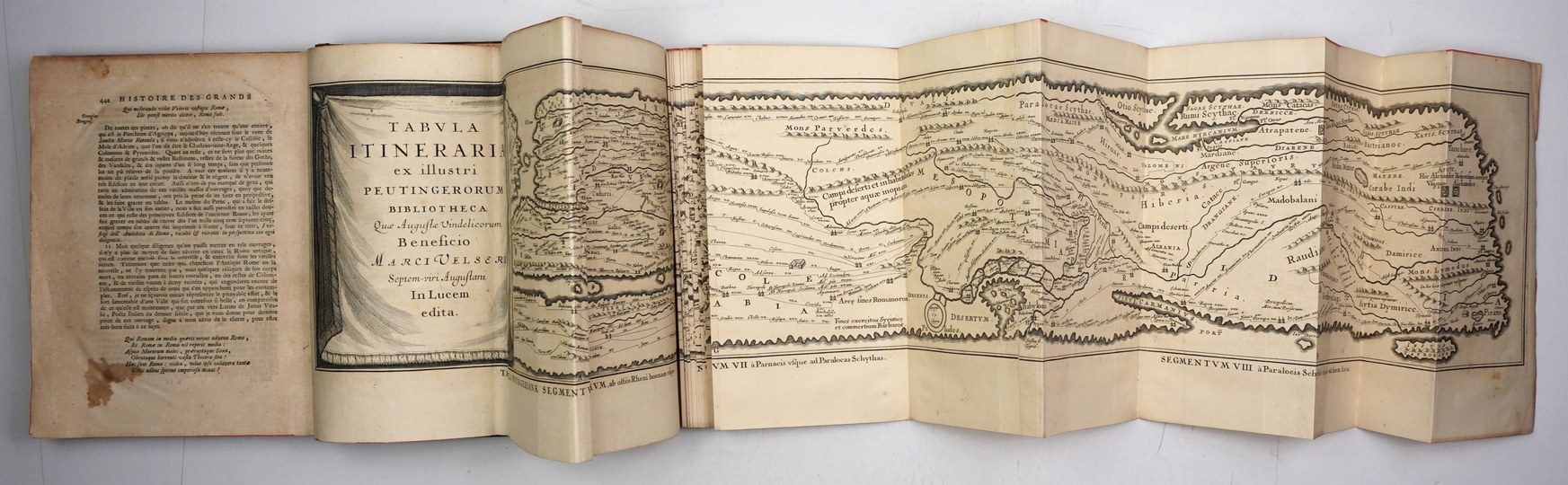
Slight staining to corner of end pages of vol. 2, otherwise very good condition. Spines gilt. History of the ways of the Roman Empire. A special addition to the work is the so-called Peutinger's map (Tabula Peutingeriana) depicting the road network of the Roman empire in an unusual form. The map was probably created at the turn of the centuries before and after Christ, and a medieval parchment copy is known. The map is named after its "discoverer," the German humanist and antiquarian Konrad Peutinger (1465-1547), who served, among other things, as archaeological advisor to Emperor Maximilian I. The map has been kept in the Austrian National Library since the 18th century. The map posted here is more than 4 meters long.





Nesen skatītās
Piesakies, lai redzētu lotu sarakstu
Iecienītākie
Piesakies, lai redzētu lotu sarakstu