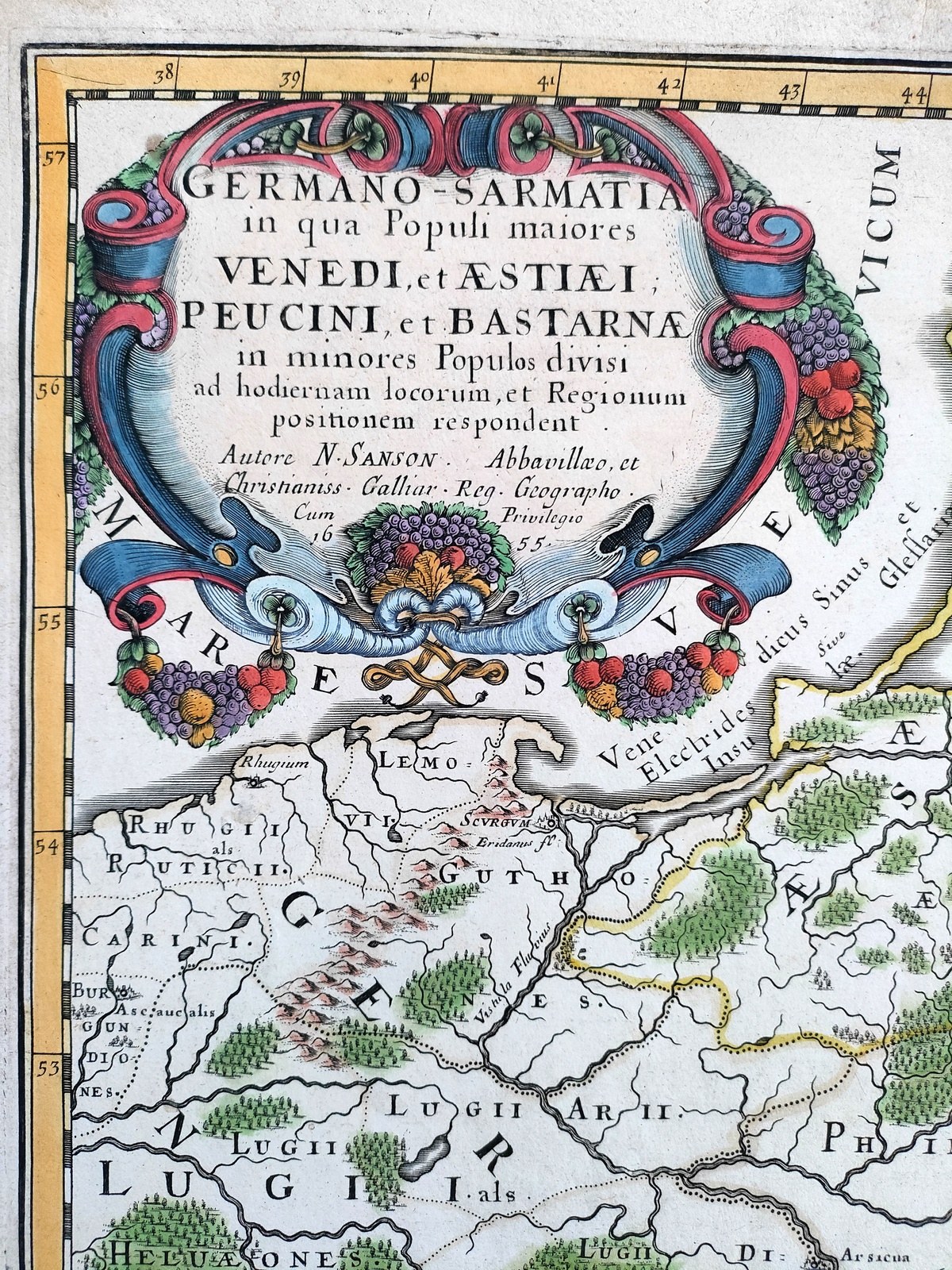
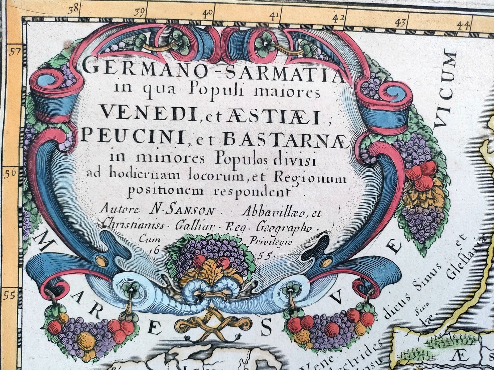
"Germano-Sarmatia in qua Populi maiores Venedi et Aestiaei, Peucini et Bastarnae in minores Populos divisi ad hodiernam locorum, et Regionum positionem respondent ".
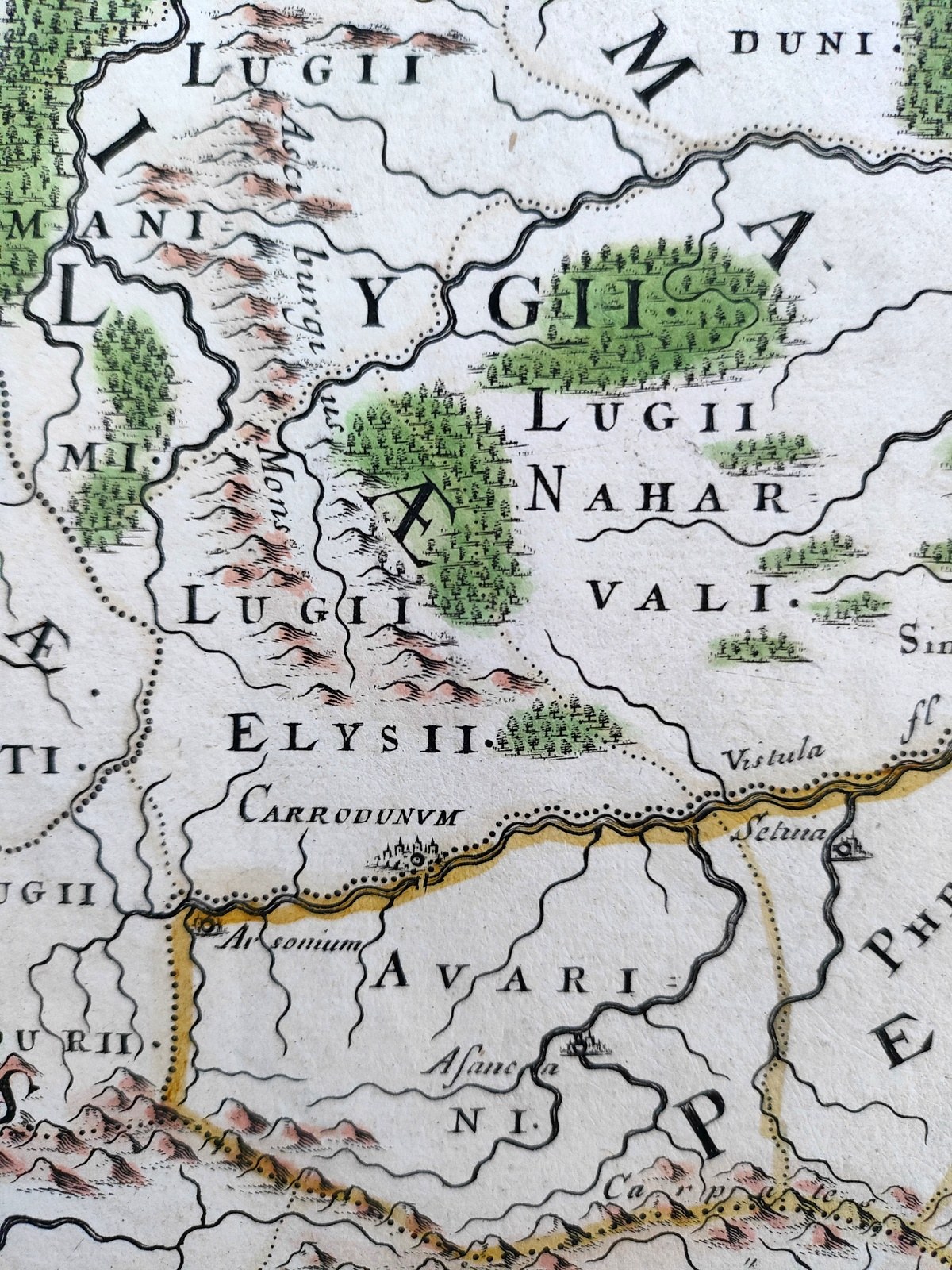
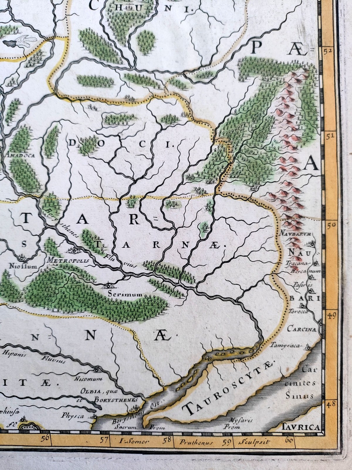
Map of Central and Eastern Europe showing the area from Germania through the areas inhabited by the Venedic and Bastarnae peoples and Sarmatia during the 3rd and 4th centuries.
Hand-colored [line-colored] copperplate by Nicolas Sanson D'Abbeville I (1600 - 1667) father of French cartography, creator of more than 300 maps including maps of the world, and also - royal cartographer at the court of Louis XIII and then Louis XIV.
In the right part of the map we see lying on the Vistula River only a few cities including Carrodunum [ Cracow ] or Scurgum [ Szczecinek] at its mouth [ names taken from Ptolemy's "Geography"].
In the upper left corner of the card is a colorful, richly decorated cartouche with the title and date of the map's publication 1655. The map's divisions have been placed in the upper right corner .
Handmade paper, Very good condition, verso clean.
Format : 38.5 x 55 cm (board : 43.5 x 58.5 cm).
Decorative seventeenth-century map of the territories of present-day Poland, Lithuania and Ukraine at the time of the migration of the barbarian tribes into the Roman Empire and leading to the fall of its western part.