


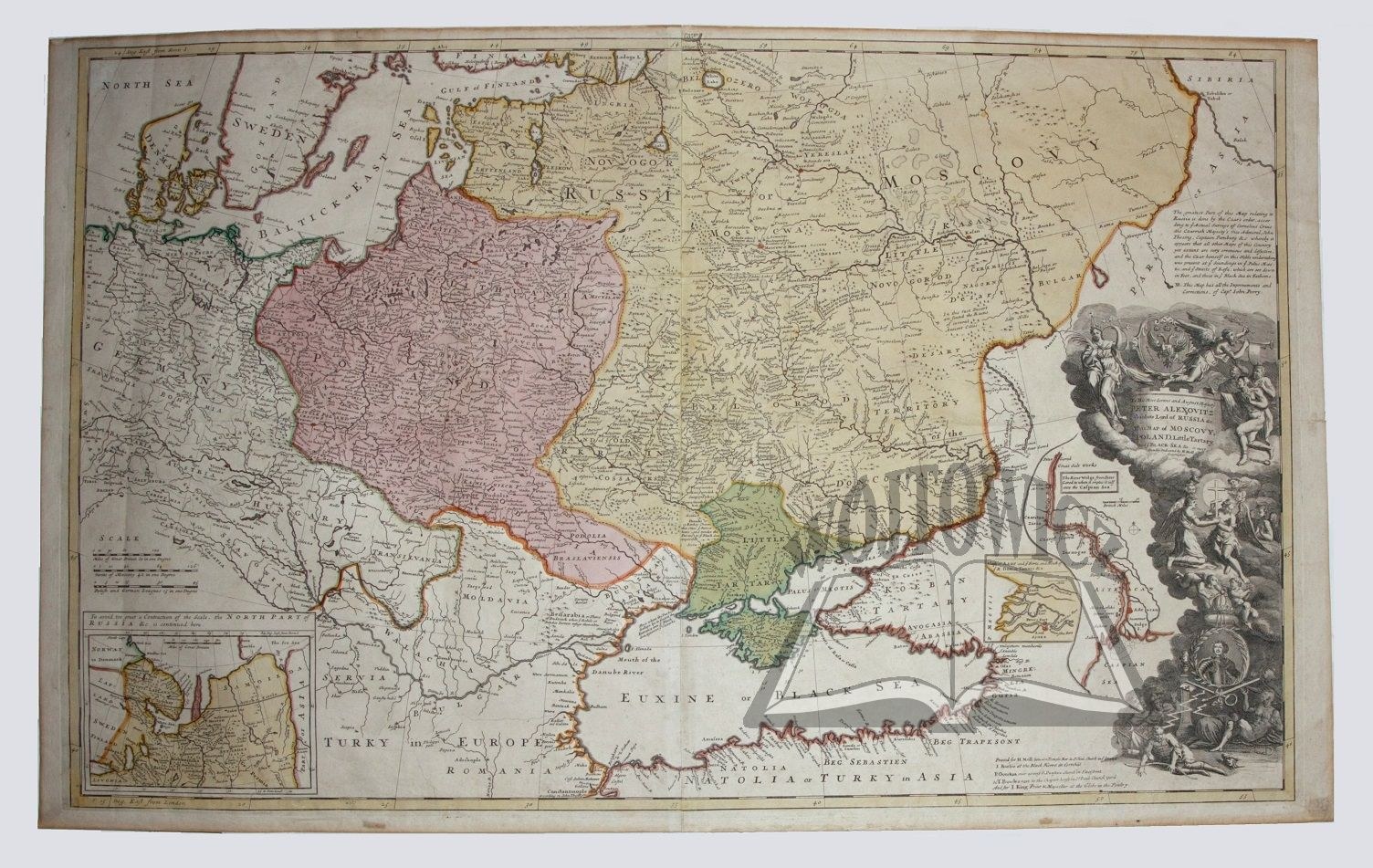
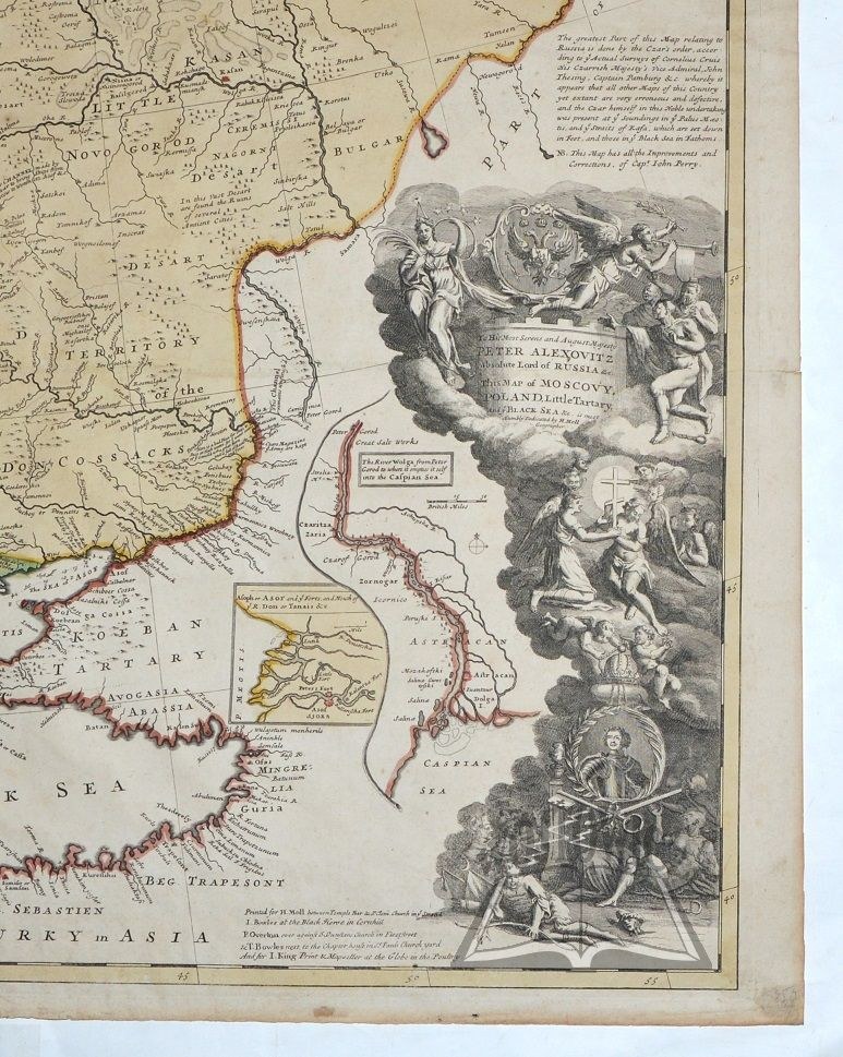
(POLAND, Russia, Crimean Khanate). "To his most Serene and August Majesty Peter Alexovitz Absolute Lord of Russia.... His Map of Moscovy, Poland Little Tartary and Black Sea...".
Coppersmiths colored. Herman Moll. 1740 Format: 60.5 x 98 cm (board: 77 x 114 cm).
Huge map, reflected on two sheets, prepared by cartographer Herman Moll (1655-1732) settled in London and dedicated to Peter I. Map published by J. Bowles, Ph. Overton, T. Bowles and J. King. Beautiful allegorical multi-page cartouche with the coat of arms of Russia and portrait of Tsar Peter I. On the left side of the cartouche, two small maps, the first depicting the mouth of the Volga and the second the mouth of the Don. At the bottom left, a second small map depicting semi-northern Russia. Traces of folding, non. margin tears. good condition. A rare and impressive map. (Imago Poloniae K40/5).





Nesen skatītās
Piesakies, lai redzētu lotu sarakstu
Iecienītākie
Piesakies, lai redzētu lotu sarakstu